Travel
Travel disruption amid severe snow and ice warning across Scotland

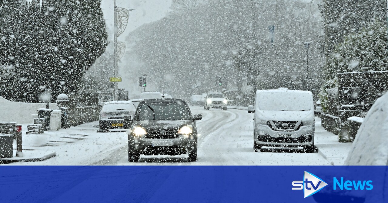
The Met Office has issued a severe weather warning of snow and ice across Scotland.
The forecaster had issued a yellow snow and ice warning from 3pm on Tuesday until midday on Wednesday covering the Highlands, Western Isles, Orkney, Shetland and parts of Argyll and Bute and central Scotland.
On Tuesday evening, the Met Office extended the warning further east and south to include Glasgow and Aberdeen.
Now forecasters have issued another alert to kick in at 4pm on Wednesday until 10am on Friday morning to cover the Highlands, the Western Isles and Orkney and Shetland with more snow and ice on the way.
The Met Office warned that accumulations of up to 3cm of snow are likely quite widely across the warning area, with perhaps another 5-8cm over the north-west Highlands, while icy surfaces will be an additional hazard.
Met Office advice read: “Snow showers will affect northern Scotland overnight Wednesday evening into Thursday morning.
“Accumulations of up to 2cm are expected quite widely across the warning area, with up to 5cm possible on higher ground particularly of the northwest Highlands.
“Icy surfaces may be a hazard where sleet or snow showers fall on to frozen surfaces.”
Flooding in Dingwall forced delays, cancellations and alterations for train passengers in the Highlands.
Services from Inverness to Kyle of Lochalsh were cancelled with replacement buses put in place.
A Network Rail statement said: “The line between Muir of Ord and Dingwall is closed due to reports of flooding in the area.
“Engineers are heading to the site and once they have carried out further inspections, we will provide a further update on this.”
A yellow warning of snow was also issued covering Northern Ireland, north Wales and northern England from 6am on Thursday to 6am on Friday.
It forecast that up to two centimetres of snow is possible at lower levels, 2-5cm on ground above 200 metres, and as much as 15-25cm above 400m.
There is a risk of power cuts, travel delays and a “slight chance that some rural communities could become cut off”, the Met Office warned.
It added that the snow will ease later in the day on Thursday, and may turn back to rain or drizzle, especially in the south and east of the warning area.
Met Office meteorologist Liam Eslick said most disruption this week was likely to occur on Thursday.
He said: “With the snow there is a chance that you could see some rail and air travel cancellations.
“If the snow does reach lower levels then we could also see some local impacts with travel disruption.”
He added that an easterly wind meant the highest accumulations of snow were likely on the “eastern upslopes running across the Pennines and the northern Welsh mountains”.
The forecaster added that it looked like a “cold spell” was on its way as an area of high pressure moves in over the UK towards next week.
Mr Eslick said: “It looks like we could see some cooler conditions starting to come back towards next week and it does look like it’s going to stick around towards the back end of February.”
Follow STV News on WhatsApp
Scan the QR code on your mobile device for all the latest news from around the country


