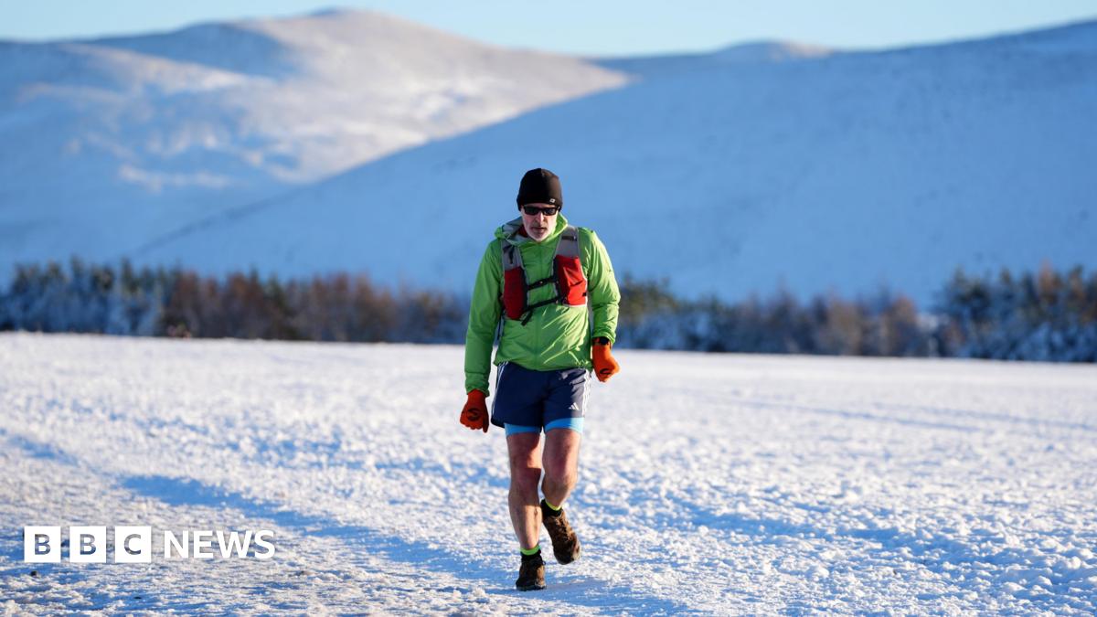
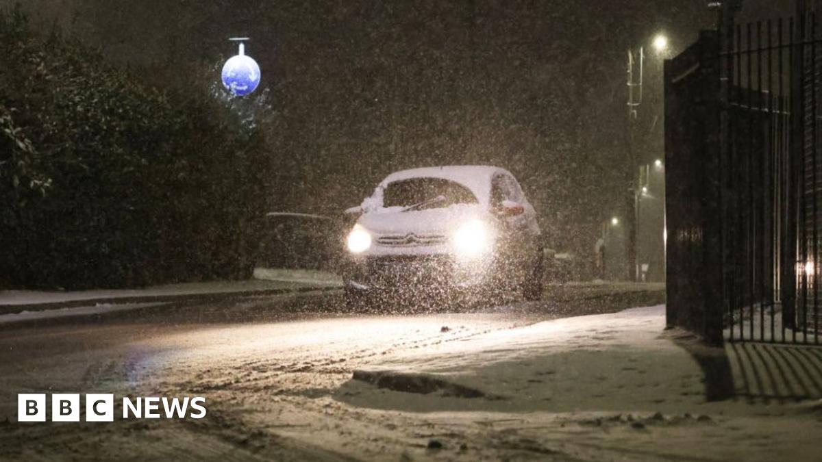
Scots have been told to brace themselves for hazardous driving conditions amid ice and up to eight inches of snow.
Most of the country is on yellow alert for a wintry blast today with only the east being spared the worst.
Forecasters warn of patchy freezing fog especially in the west, while the far north, Orkney and Shetland will also feel the Arctic grip.
With a short respite in the stream of warnings over Scotland expected tomorrow (Sat), snow and ice alerts are back in vengeance from midnight on Sunday.
A Met Office spokeswoman said: ‘Following a cold night temperatures will struggle to climb above freezing today (Fri) although in some western areas we could see 4C or 5C.
‘There’s a low pressure system moving in from southwest bringing in some unsettled conditions over the weekend with warnings for snow and ice for much of Scotland.
‘Keeping in mind a lot of people are expected to travel and return to work on Monday, the conditions could have an impact on the roads and our warning is in place until noon.
‘In terms of temperatures, they won’t fluctuate too much but could go down to -5C. Snow-wise two to five centimetres (inch to two) is expected, and even up to 10 to 20cm (four to eight inches) on the higher ground.
A snowplough clears snow from roads near Inverness

A bike in the snow at Strathdearn near Inverness
‘So drivers should really take care, prepare for their journey and leave in plenty time.’
Motorists in the northeast have already been given a taste of what’s to come with police warning yesterday: ‘Driving conditions are currently very poor in the South Aberdeenshire area, particularly around Braemar and Ballater.
‘Please consider if your journey is absolutely necessary and if travelling is required, pay attention to forecasts and drive according to conditions.’
Roads are expected to be busy over the weekend with many festive travellers returning home in time to go back to their everyday lives from Monday.
Traffic Scotland warned on its website: ‘Heavy snow on Sunday and overnight into Monday may cause some disruption.’
Rail travel has already been disrupted because of the wet weather which swept in ahead of Hogmanay with two Highland railway lines closed amid landslips and flooding.
The Far North Line between Inverness and Wick is out of action with rail operator ScotRail saying: ‘We’re dealing with three landslips, between Lairg-Rogart, at Bunchrew near Inverness, and at Beauly. Flooding at Beauly has also closed the line. We’ll share more information on the progress of repairs later.’

Snow settled on the ground in the west end of Aberdeen
Replacement buses have been put on to serve passengers.
Meanwhile, the Highland Main Line also remained closed due to flooding caused by heavy rain in the Kingussie area, with engineers waiting for water levels in the Balavil Burn to fall to allow them to inspect a bridge.
Network Rail Scotland said yesterday: ‘The Highland Main Line remains closed this morning.
‘Water levels on the Balavil Burn in Kingussie remain too high for our engineers to inspect the structure for damage caused by the flooding.’
However, in between the downpours at the end of the year and the first proper blast of winter, Scots were treated to a magnificent display of the Northern Lights with Aurora visible to the naked eye throughout much of the country.
The cold snap comes in stark contrast to last year which the Met Office said was the fourth warmest on record in a series dating back to 1884.

A motorist clears snow from his car in Huntly, Aberdeenshire
Senior Scientist Mike Kendon said: ‘So 2024 has been another year with minimum temperatures well above average. We have experienced some particularly mild nights and far fewer frosts than normal, particularly in February and December.’
Eight of the 12 months of the year saw temperatures above the 1991-2020 average, including the warmest May on record, second warmest February and fifth warmest December with 14.2C reached in Dyce, Aberdeen on Christmas Day.
On January 28 last year, mercury soared to 19.9C at Achfary, Sutherland – breaking a UK January record. Since 2011, six of the 12 months of the year witnessed new all-time UK highest maximum temperature records set in observations back to the 19th century.
However, 2024 was also relatively wet year with the UK recording 107 per cent of average rainfall. The year included the UK’s 8th wettest winter and 6th wettest spring on record.
Mr Kendon added: ‘With 2024 joining the top ten warmest years for the UK’s annual temperature series, once again this is a clear illustration that our climate is changing, right now, and we continue to head up this warming curve.
‘The fact that all ten of the most recent years have been above the 1991-2020 average demonstrates that this recent period, entirely within my own adult lifetime, is a stark reminder of just how fast our climate is changing. We have not had a top ten coldest year in the UK since 1963.’


