Football
Rain, wind and snow warning in lead-up to Hogmanay

The rain and snow alert stretches across the Strathclyde region, including Glasgow, East Ayrshire and South Lanarkshire, and over to Edinburgh and West Lothian in the east. It extends northward across the rest of the country, excluding Orkney and Shetland.
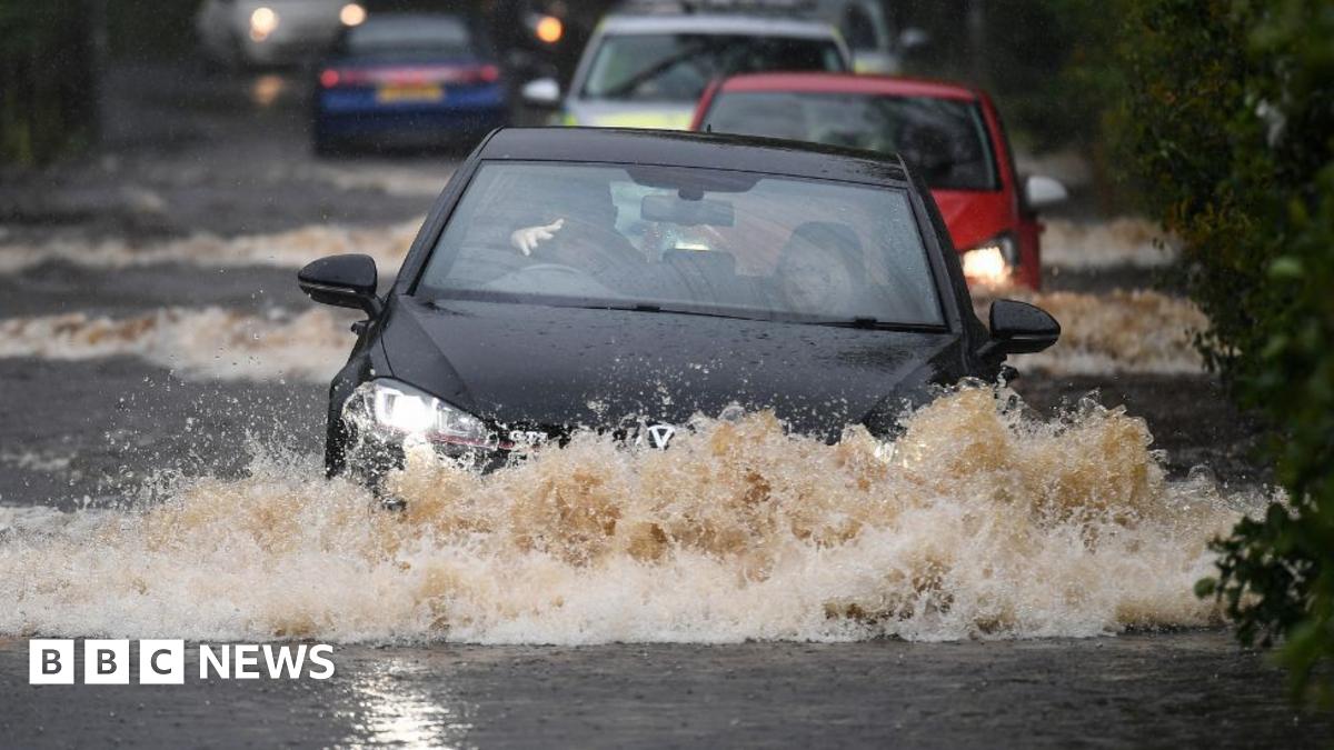
Heavy rain is forecast to be persistent and widespread during Monday and Tuesday and could cause flooding.
There could be up to 140mm of rain in some areas, with western Scotland likely to get the worst of it.
The Scottish Environment Protection Agency (Sepa) is warning communities in the north-west and central Highlands , external to prepare for flooding.
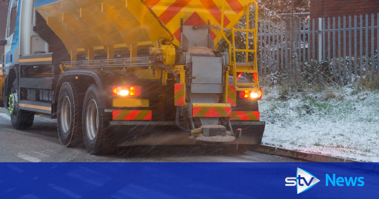
Significant snowfall is expected in areas to the north and east of Perthshire, as well as in the region itself, especially over high ground.
About 10-20cm of snow is forecast to accumulate at higher levels, with several centimetres possible at lower levels.
Snow is expected to turn back into rain as milder air pushes in, with snow melt expected to contribute to flooding in places.
The Met Office warned strong winds could “exacerbate” issues, citing the possibility of blizzard conditions over high ground and across much of Sutherland and Caithness.
In Okrney, snow is forecast to fall from the early hours of New Year’s Eve.
It is expected to continue through much of the day before turning to showers in the evening. Up to 20cm is expected, largely across the mainland and Hoy.
Meanwhile, strong and gusty southwesterly winds are forecast to develop across southern Scotland on Tuesday morning, veering to westerly during the evening.
Gusts of 50mph to 60mph are expected, perhaps reaching 70mph in a few exposed areas.


