Travel
Met Office warns of snow for Glasgow as cold snap deepens

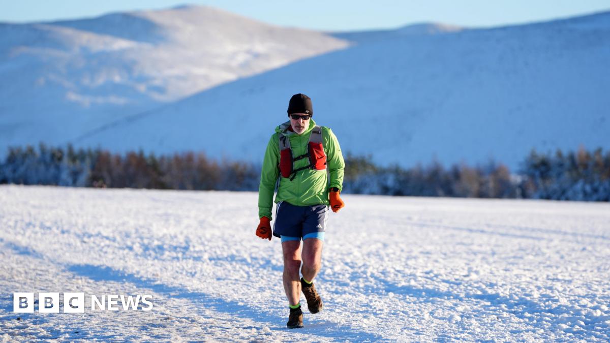
The threat of snowfall is forecast to last until 12 noon on Monday, and follows three days of ice warnings as the New Year cold snap continues.
The Met Office has already issued warnings of snow and ice for parts of Scotland from 10am on Thursday.
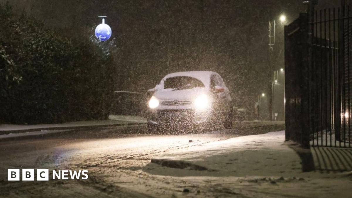
The ice warning chiefly covers the West Coast, while snow has been falling in the north, making travelling conditions treacherous on the A9 yesterday.
Snow ploughs on the A9 on Wednesday (Image: Peter Jolly) On Thursday and Friday, ice is expected to create difficult travel conditions in the west of the country.
A snow and ice warning is also in place covering parts of northern Scotland between 4pm on Thursday and 10am on Friday.
READ MORE:
Transport Scotland advised those travelling to be cautious and plan ahead. A spokesman urged the public to check conditions before travelling.
He added: “Please drive to the conditions, follow police travel advice, and allow extra time for your journeys.
“There is still a fair amount of localised flooding and a number of weather warnings remain in place. We’ve chaired another call with our key operational partners and the Multi Agency Response Team to ensure operating companies have suitable resources in place.
“We are grateful to staff who are out working 24/7 in challenging conditions to help keep most major roads open, with care and caution.”
⚠️ Yellow weather warning issued ⚠️
Snow across Scotland
Sunday 0000 – Monday 1200
Latest info 👉 https://t.co/QwDLMfRBfs
Stay #WeatherAware⚠️ pic.twitter.com/j3dWjGD0wf
— Met Office (@metoffice) January 2, 2025
As temperatures dip below freezing, this will lead to a risk of ice on untreated surfaces, the Met Office said.
Strong winds could lead to snow drifts in some areas, and freezing rain as temperatures creep up could add to the risk of ice.
Met Office meteorologist Tom Morgan said: “At the moment we’ve issued a very large snow warning for Saturday until Monday but it doesn’t mean that everywhere within that warning could see snow, it’s just a heads-up there could be some impacts.”


