Travel
Hogmanay storm chaos as event AXED & travellers warned as snow to hit Scotland

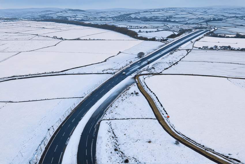
SCOTLAND faces Hogmanay storm chaos then the worst January freeze for 12 years with a -10C 10-day shiver from New Year’s Day – with widespread snow and travel chaos.
Temperatures will be colder than Moscow as a 1,000-mile-wide ‘polar plunge’ arrives on Wednesday – after a storm battering on New Year‘s Eve and during New Year’s Day.
Revellers face disruption with 70mph gusts on Tuesday in the Central Belt and southern Scotland, plus snow and rain, then 50mph winds in similar areas on New Year’s Day.
Arctic air will also hit on Wednesday to bring up snow flurries.
BBC Weather forecasts highs of just 3-4C – but feeling like -1C to 1C in windchill – across most of Scotland from January 2 to 10.
Nights are set to plummet to -10C in Scotland, colder than -5C lows due in Moscow.
The Met Office warned of snow risks continuing. Ice and travel disruption are expected at times.
The chill is set to be the most significant January cold period since 2013, records show. Many recent Januarys – and winters – were mild.
Forecast models show the longest and most significant January cold spell for a number of years, starting from New Year’s Day
Brian Gaze
The Weather Outlook forecaster Brian Gaze said: “Forecast models show the longest and most significant January cold spell for a number of years, starting from New Year’s Day.
“Bitter northerly winds are expected, with snow for many areas possible.”
Netweather forecaster Nick Finnis added: “There is increasing confidence for a cold spell across the UK from January 1 to around January 10.
“This could be a significant cold spell for January compared to recent years.”
A Met Office forecaster said: “Northern areas are likely to see the strongest winds on Monday and New Year’s Eve.
“Winds will turn northerly and cold air will be drawn across the UK.
“Showers of rain and sleet will turn increasingly to snow, especially across the north, and coasts.
“There is a chance that rain may move in from the south over the first weekend of January, turning to snow as it runs into colder air.”
The storm chaos has wreaked havoc on some Hogmanay events with revellers warned that many could be cancelled in the coming days.
Edinburgh’s popular torchlight procession was due to take place last night, just before the Met Office’s yellow warning period kicked in.
This could be a significant cold spell for January compared to recent years
Nick Finnis
Thousands of partygoers were expected to attend the event, which marks the beginning of the city‘s Hogmanay celebrations.
However, it was cancelled due to high winds for the second time in three years.
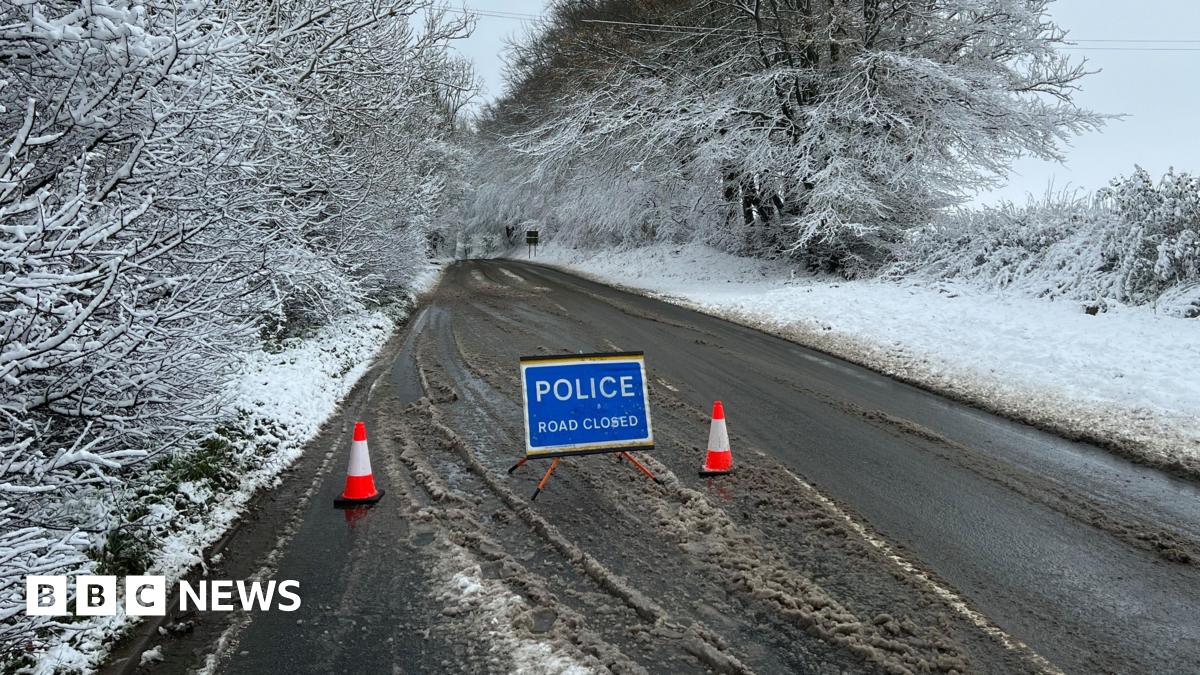
Travellers have also been warned that they face train chaos in the coming days because of the weather.
Extreme rainfall and high winds may disrupt rail services across western and northern parts of Scotland from tonight until Thursday.
Trains on the West Highland Line will travel at a reduced speed for the next four days.
This will include:
- Far North Line
- Kyle of Lochalsh – Inverness
- Aberdeen – Inverness
- Highland Main Line
- Perth – Stirling
Network Rail has also revealed that maintenance teams are carrying out additional checks in areas known to be at risk of flooding.
The rail operator added that there will be more staff on hand throughout the next few days to respond to any weather-related incidents.
And for areas that are expecting to see snowfall, locomotives with mini snowploughs are on standby at specific locations.
Simon Constable, operations director, Network Rail Scotland, said: “In the lead-up to Hogmanay, heavy rain, snow and high winds may cause disruption to some rail services.
“To keep passengers and colleagues safe, we need to slow trains down on several lines across Scotland from this afternoon.
UK 5 day weather forecast
Monday:
Remaining wet in Scotland with snow possible in places. Plenty of cloud elsewhere with patchy light rain in the west, and becoming windier, especially across the Pennines. Mild for most.
Outlook for Tuesday to Thursday:
Further unsettled weather to come, with frequent heavy showers and strong winds over New Year’s Eve and into the new year. Turning colder from Thursday, with blustery, perhaps wintry, showers.
“Ahead of the bad weather, our engineers are carrying out extra checks on our pumps and in areas known to be at risk from the elements, particularly flooding.
“We’ll have more staff than normal on duty to remove fallen trees and debris from the track, as well as to tackle flooding.
“Some journeys will take longer than normal, and we advise passengers to plan ahead.
“We will, of course, remove any speed restrictions as soon as it is safe to do so and we thank passengers for their patience.”
Bosses at ScotRail have also urged passengers to check their journeys before travelling.
Mark Ilderton, ScotRail Service Delivery Director, added: “With a Met Office yellow weather warning for snow and rain across most of Scotland tomorrow and through New Year, teams from Scotland’s Railway will be working around the clock to deal with any weather-related incidents that occur.
Read more on the Scottish Sun
“Our first priority is always to ensure the safety of our staff and customers.
“We’ll be doing everything we can to get customers where they need to be, but ask those who are planning to travel over the next few days to keep an eye on our website, app, or social media feeds for live updates.”


