Travel
‘Do not travel’: Warning issued as Storm Bert hits Scotland with snow and rain

- Multiple weather warnings are in place across Scotland on Saturday
-
 Storm Bert is expected to bring gusts of up to 70mph
 -
 Police urged people not to travel unless necessary
 -
 An amber warning is in place for ‘heavy snow’ on Saturday
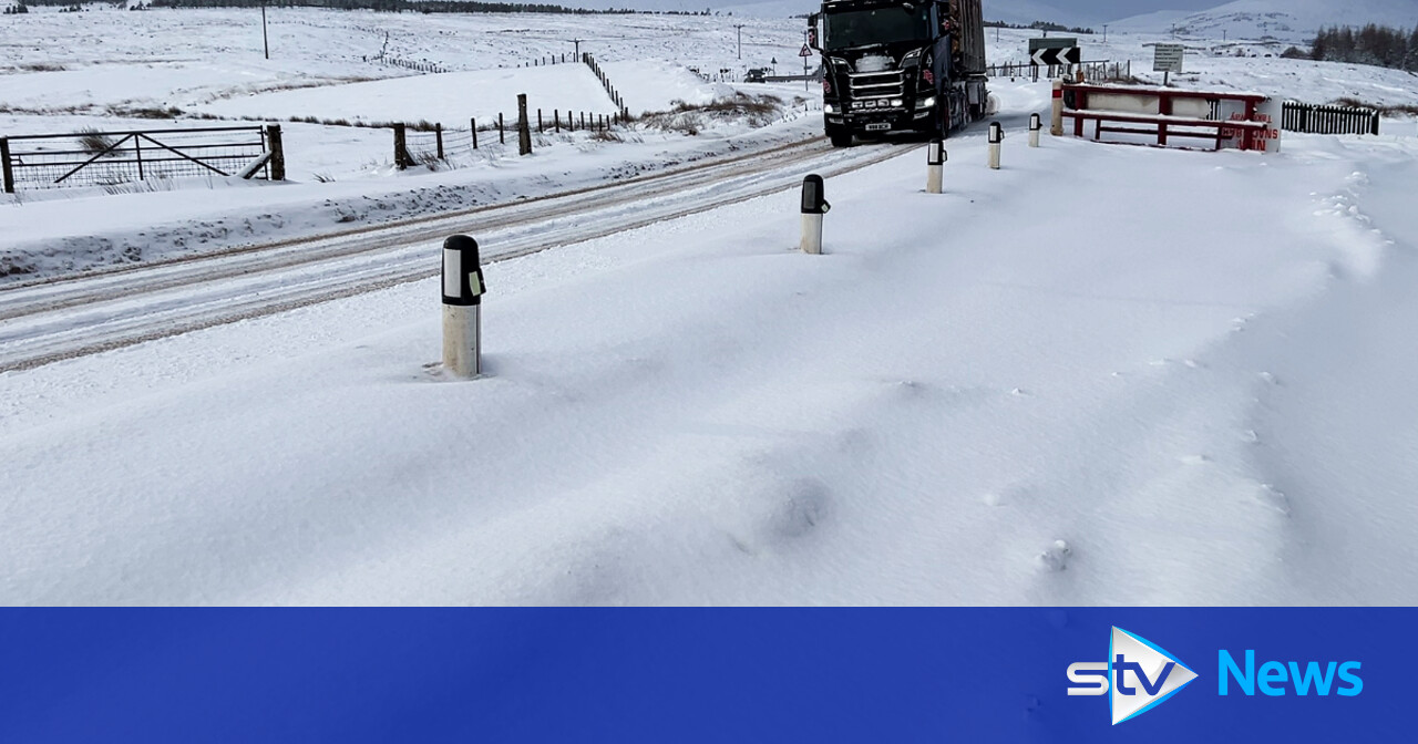
Scots have been urged to not travel unless necessary as a series of amber and yellow weather warnings for snow and ice herald the arrival of Storm Bert in Scotland.
The Met Office said the storm is expected to bring “heavy rain, strong winds and disruptive snow to parts of the UK” over the weekend.
An amber weather warning is in place for parts of The Highlands, Aberdeenshire, Perth and Kinross and Angus.
Several yellow alerts have been issued, with as much as 40cm of snow expected to fall on higher ground.
A yellow warning for rain and snow, covering most of Scotland, took effect from 4am on Saturday.
Heavy snow, followed by a rapid thaw and subsequent rain on Saturday night, may cause disruption, the Met Office said.
At 5am on Saturday, a yellow wind warning also came into force as Storm Bert touched down in Scotland, bringing gusts of up to 70mph and causing disruption around the country.
Areas around the coast are forecast to be worst affected by the storm.
Forecasters warned of travel disruption and potential flooding as well as injuries from icy surfaces.
The Met Office said there is a “good chance” that some rural communities could become cut off.
The storm comes after a week of heavy snow and freezing conditions across Scotland.
Police Scotland urged people to not travel on roads unless “absolutely” necessary.
Superintendent Vinnie Fisher, deputy head of Road Policing, said: “When driving on ice and snow, keep well back from the road user in front. Stopping distances can be up to 10x greater than on dry roads,” he said.
“Check your windscreen washer levels and ensure your windows are completely clear before driving. Failure to do so can result in a fine.
Transport secretary Fiona Hyslop said Storm Bert will bring a period of “challenging” weather.
She said: “The conditions will likely cause difficult driving conditions and disruption to the wider transport network, so it’s important that anyone that has to travel during the warning period plans their journey ahead of time.”
Hyslop urged people travelling to plan their route in advance and follow Police Scotland guidance.
“There may be disruption on other modes of transport, so you should check with your operators before setting off if you’re planning to travel by rail, ferry or air,” she added.
“Pedestrians should also be aware that pavements are likely to be affected by snow and ice, so make sure you use the appropriate clothing and footwear if you have to go out.”
As we head into the weekend, we see the arrival of our second storm of the season, Storm Bert, named by Met Eireann, on Thursday.
Initially, the strongest winds will be offshore Saturday morning before things turn increasingly windy across Scotland throughout the morning.
Our first warning comes into effect at 4am for rain and snow, which covers the vast majority of the country. This is to warn of the band of heavy and persistent rain that Storm Bert brings with him first thing Saturday morning.
As the rain bumps into the cold air we have across the country, it will turn to snow for around two to four hours before rapidly melting and turning to rain for the rest of the day.
We will see some significant snowfall throughout the morning, with accumulations on higher ground, but even down to some low levels, we could see 2-3cm.
As the storm progresses and milder air moves in, any precipitation we see through the afternoon will mostly be rain.
At 5am, our second warning comes into effect, a yellow warning for strong winds covering western and eastern coasts. We will likely see gusts of up to 60-70mph on exposed coasts and higher ground throughout the day.
Then at 7am, our most significant warning begins, an amber warning for snow and ice covering Angus, Aberdeenshire, Perth & Kinross and parts of the Highlands and Argyll & Bute.
Within this area is where we will see the most impactful and disruptive snowfall, strong winds, ice risk and also the chance of freezing rain.
But that’s not to say you won’t see hazardous conditions outside of this warning area.
Storm Bert sticks around throughout Sunday and Monday before finally starting to clear away come Tuesday morning, with things turning more settled on Tuesday however, it will be turning colder once again.
Follow STV News on WhatsApp
Scan the QR code on your mobile device for all the latest news from around the country


